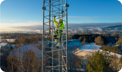
Always connected, always powered
We make it happen by transforming society for a sustainable future.
Annual General Meeting 2026
Eltel’s Annual General Meeting took place on 12 May 2026 at 14:00 (CEST).
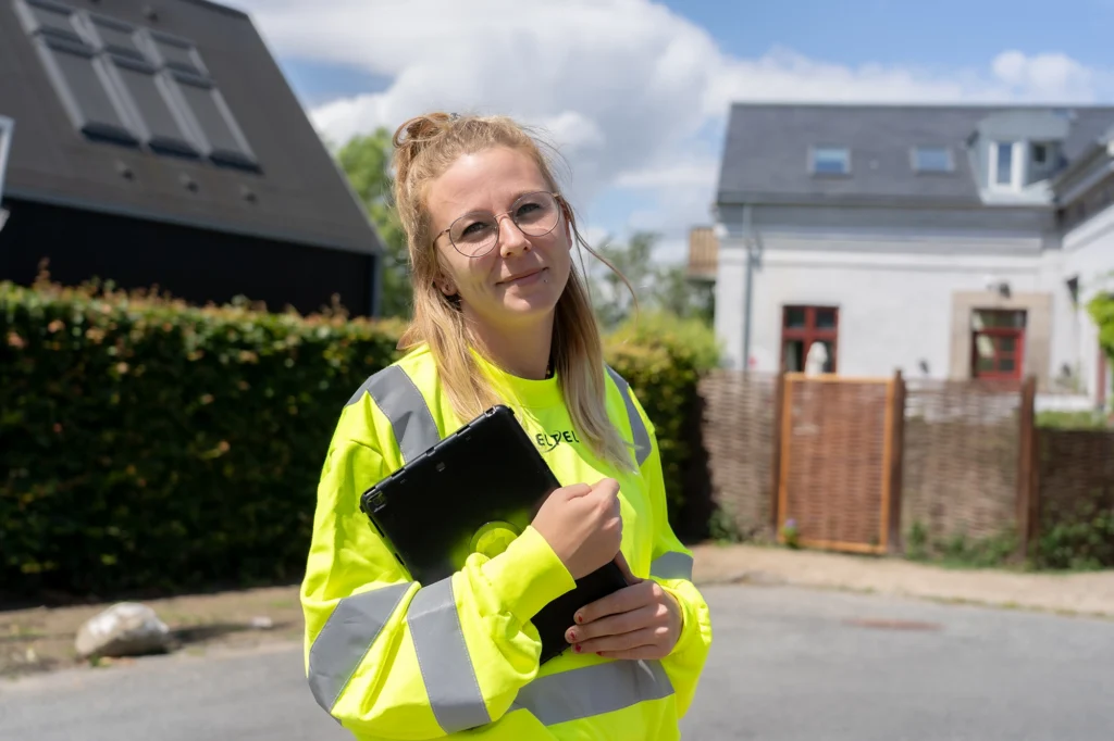
Service provider for critical infrastructure
that enables renewable energy and high-performing communication networks.
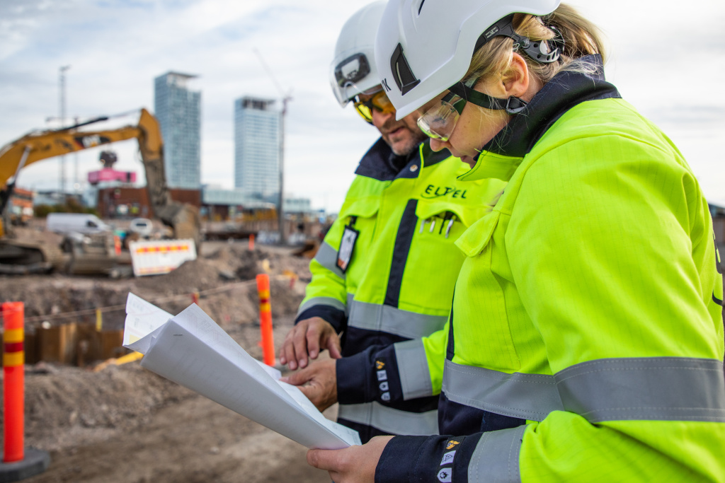
Why invest in Eltel?
Eltel’s position as the leading provider of critical infrastructure services in the Nordics, driven by digitalization, electrification and sustainability, makes it an attractive investment opportunity. Eltel operates in markets with good, long-term growth opportunities, including traditional communication and power, as well as rapidly expanding markets related to solar energy, electrical charging and battery storage.


Annual Report 2025
Eltel’s Annual Report 2025 is now available. The report includes Eltel’s first sustainability statement in accordance with the European Sustainability Reporting Standard (ESRS).
Investor information and the share